 Tour My Run!Tour My Run!
Termignon, a Haute-Maurienne village tucked at 1,300 m at the foot of the Vanoise, is a gateway to France's oldest national park. Here you don't tour the mountains, you run them: the Petit Bonheur path unrolls a gentle thread along the Arc and the larch forest between the villages, while the trails climb quickly to the Bellecombe plateau and the Plan du Lac refuge, facing the panorama of the Vanoise glaciers: Grande Casse, Dôme de Chasseforêt, Dent Parrachée. On TourMyRun, a local trail runner (a passionate local, not a mountain professional) takes you along their trails: a gentle valley-floor path, the sunny balcony of the Vallonbrun refuge, a climb to the glaciers. They know the right elevation for your level, the seasonal window, the altitude to respect, and the pace that holds on the climb.
来吧,我带你去跑步
想让人带你在Termignon跑步,就在 TourMyRun 上预订一次跑步:一位本地跑者会带着他的跑团在集合点迎接你,你们沿着他的路线、按自己的节奏一起跑上一程——通常在一小时左右。你从不独自跑,也不用自己安排任何事。
📄 下载Termignon跑步指南 — 路线、地图和建议(免费PDF)
获取免费指南In Haute-Maurienne, everything comes down to the season, the weather and the altitude — which is exactly where a local changes everything. Your guide is a local amateur trail runner who knows which trails are open, the summer window, the elevation that suits you and the pace that holds on the climb. They'll pick the gentle, accessible Petit Bonheur valley floor, the flat but 2,300 m Plan du Lac balcony, or a real south-facing climb depending on what you're after. Many of our guides here are students and runners from the valley, Vanoise regulars who live the mountains every day. You discover the national park on your own terms, safely and at your pace.
在找人陪你在Termignon跑一程?本地人已经准备好了。与其在陌生的城市里独自奔跑,不如加入一位早已熟悉这片路线的居民:他为你打开自己的路线,把节奏调到和你一致,带你在奔跑中认识这座城市。
你不是为了成绩而来?很多向导会提供一次慢节奏的探索跑——几乎像走路一样轻松的慢跑,让你看遍这座城市,而不是掐着表穿过它。大家在观景点停下,慢慢地看:这是一种和本地人一起、在移动中发现Termignon的方式,节奏之慢,足以让你把一切尽收眼底。
可以。在 TourMyRun 上,每一次跑步都由一位本地人带领,他接待一个小型跑者团体:你和其他人——无论是路过的还是本地的——一起参加一次集体跑,不必独自奔跑。这是 TourMyRun 一次跑步的团体——由本地居民带领——而不是外部的俱乐部或跑团。
Public, well-known routes you can run on your own — a solid plan B to get moving right away. But the best of TourMyRun is still discovering them with a local who takes you, at your pace.
A gentle route between villages, along the Arc
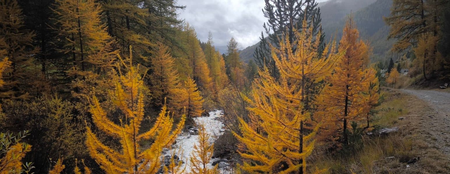
Start : Termignon, village centre (town hall / Baroque church)
The most accessible section of the Petit Bonheur path (GR5E), linking the Haute-Maurienne villages along the Arc and the larch forest. Ideal for a first mountain run, with no big elevation.
What you'll see
A balcony facing the Vanoise glaciers
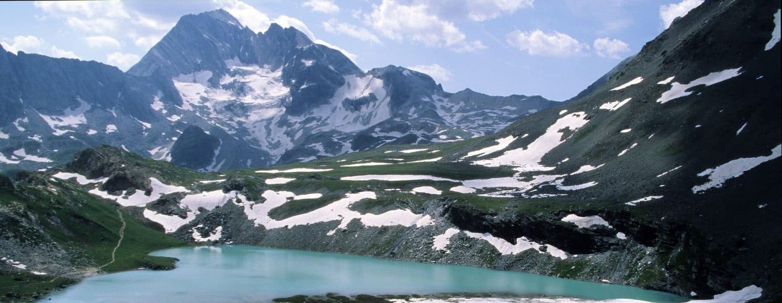
Start : Bellecombe car park (2,307 m), above Termignon
The great accessible balcony of the Vanoise: an almost flat path leading to the Plan du Lac refuge (2,385 m), facing the glacier panorama (Grande Casse, Dôme de Chasseforêt, Dent Parrachée). A stage of the GR5 and Via Alpina. Respect the altitude, but the elevation gain is minimal.
What you'll see
A sunny south-facing trail on the GR5
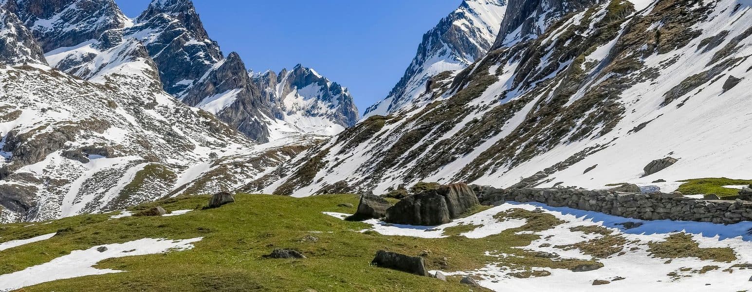
Start : Lanslevillard (Val-Cenis), Grattais side
The sunny GR5 balcony that climbs to the Vallonbrun refuge (2,272 m), perched on the south-facing slope opposite the Vanoise glaciers. A sustained climb, rewarded by a plunging view over all of Haute-Maurienne. For legs that like to climb.
What you'll see
A high-altitude loop between lakes and glaciers
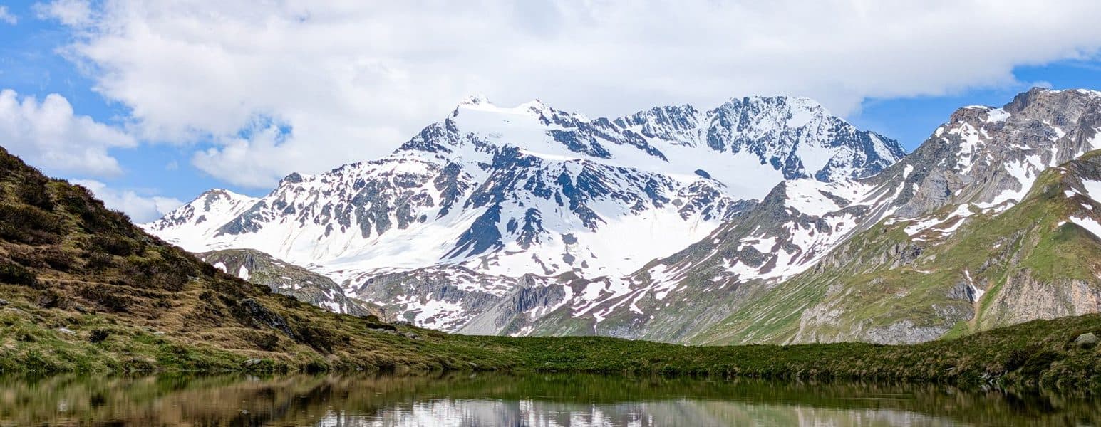
Start : Coêtet car park (2,061 m), Bellecombe road
A high-altitude loop on the Bellecombe plateau, between Lac Blanc (where the Dent Parrachée is reflected) and the Bellecombe lakes. Rocky terrain, sustained elevation, a constant glacier panorama. Demanding: this is high mountain, check the weather.
What you'll see
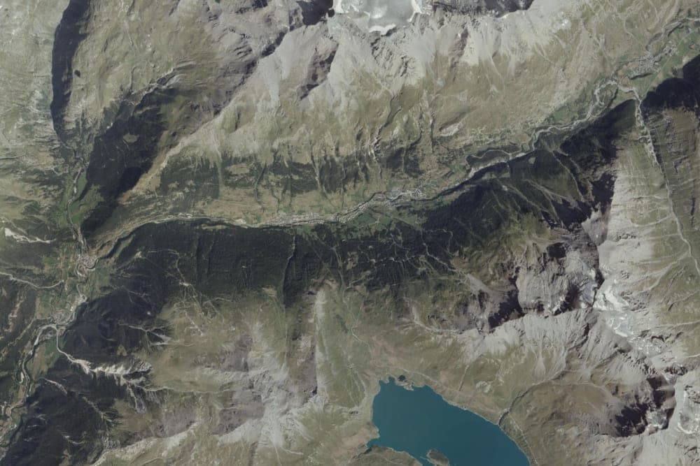
📍 4, Rue du Bord de l'Arc, Termignon, Val-Cenis, Saint-Jean-de-Maurienne, Savoie, Auvergne-Rhône-Alpes, France métropolitaine, 73500, France · 60 min
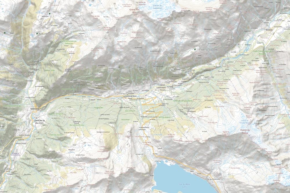
📍 Lanslebourg-Mont-Cenis, Val-Cenis, Saint-Jean-de-Maurienne, Savoie, Auvergne-Rhône-Alpes, France métropolitaine, 73480, France · 60 min
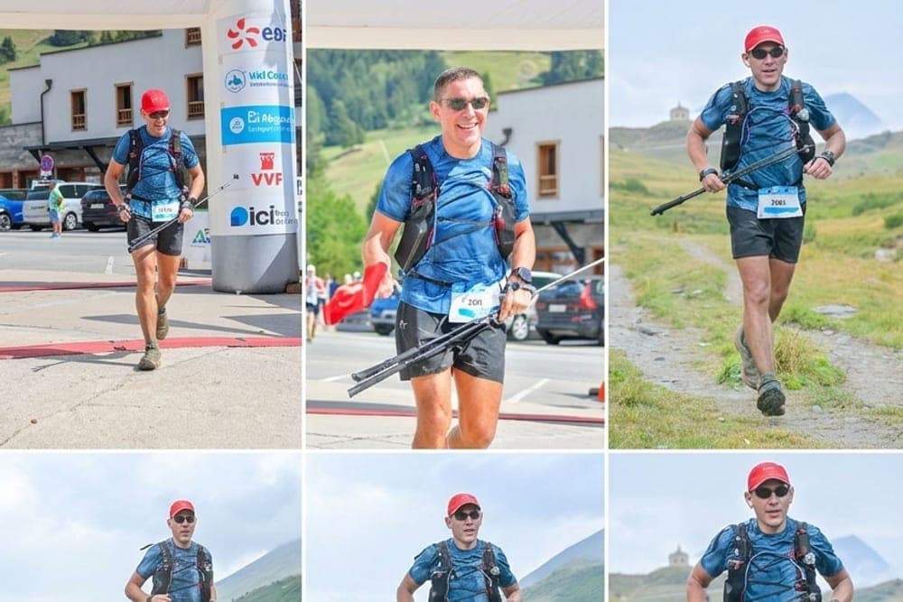
📍 Lanslebourg-Mont-Cenis, Val-Cenis, Saint-Jean-de-Maurienne, Savoie, Auvergne-Rhône-Alpes, France métropolitaine, 73480, France · 130 min
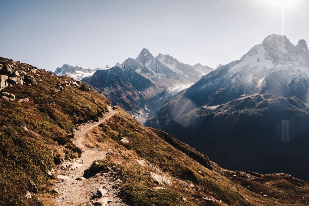
📍 lakeside promenade, Chamonix · 57 min
Your guide is a passionate local, an amateur trail runner — not a mountain professional. They are not paid: what you pay covers the organisation and a contribution towards the costs they incur — never a wage, never a service contract.
No. The Petit Bonheur path and the valley floors are open to everyone; the Plan du Lac balcony is almost flat (but at altitude); south-facing climbs ask for elevation. Each listing states the level and elevation gain, and your guide adapts.
Summer (mid-June to mid-September) for high-altitude trails and refuges; the valley floor can be run over a longer period. Check each run's level and season.
No — they are a passionate local runner sharing their routes between amateurs, not a professional guiding service. In the high mountains, stay mindful of the weather, the altitude and your level, as on any outing in the Vanoise.
Yes. Share your Haute-Maurienne trails and choose your slots. It's voluntary: your costs are covered, never a wage.
在 TourMyRun 上预订一次跑步:一位本地跑者带你跑他的路线,并把节奏调到和你一致。你选好时间,在集合点与他会合,就能有人陪着一起跑。
可以——每一次 TourMyRun 跑步都由一位本地人带领,他接待一个小团体。你和其他跑者一起参加集体跑,从不独自奔跑。
和一位熟悉这座城市的居民。他为你打开自己的路线和团体:你像本地人一样发现Termignon,而不是像游客一样。
可以。有些向导会提供慢节奏的探索跑,几乎像走路一样,并在观景点停留——让你在移动中、按自己的节奏看这座城市。
在 TourMyRun 上搜索在Termignon的跑步:每条信息都会显示路线、节奏、时长,以及带你跑的本地人。你挑一个和你合拍的。
来吧,我带你去跑步